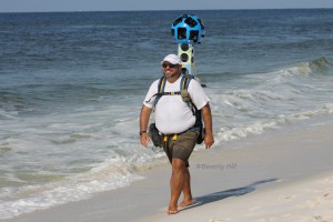
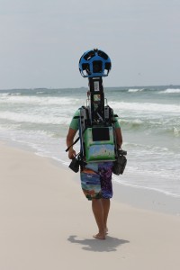
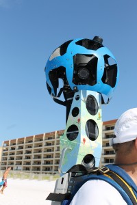
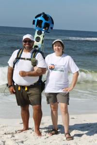
If you happened to be on the beaches of the Emerald Coast this past week you may have noticed an odd sight wandering along the shoreline. No, it wasn’t an alien, but in fact was a team working in conjunction with the Google Trekker program taking pictures that will enable Google Street View to share 360 degree views of off-road hiking trails and other scenic locations with its users. The Trekker backpack, operating on Android, has 15 separate angled cameras and is capable of capturing photographs every 2.5 seconds.
This week the team, on-foot, covered Perdido Key, Gulf Breeze, Navarre, Fort Walton Beach and Destin. On an average day they cover between 8-12 miles of coastline. After they wrap up here they will continue on to the Forgotten Coast, Nature Coast and down to the Florida Keys. The Trekker program first debuted in the spring of 2012 going on to tackle the Grand Canyon. Since then Google has added Venice, Taiwan, Hawaii and the Galapagos to its list of projects.
Google Trekker has also recently launched a volunteer program allowing select participants to borrow the camera. Initially the program will be limited to non-profits, tourism boards, government agencies, universities or research groups but may open up to others in the future.
It may take a few months for all of the data to be compiled and added to Google Street View. Be sure to check back for updates.


